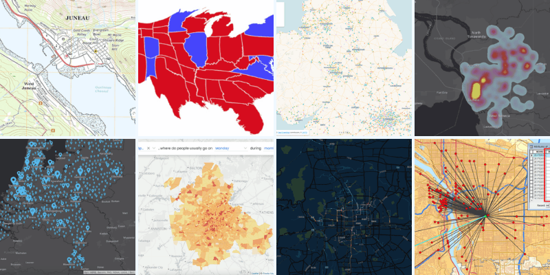
Geospatial data is the foundation of modern mapping and geographic analysis. In this comprehensive guide, we'll explore the two primary types of geospatial data - raster and vector - and delve into essential tools and formats used in the field.
Raster Data: Pixels and Grids
Raster data represents spatial information as a grid of cells or pixels. Each pixel corresponds to a specific geographical location and contains a value representing various attributes such as elevation, temperature, or land cover.
Key characteristics of raster data:
- Continuous coverage of an area
- Ideal for representing phenomena that vary continuously across space
- Resolution determined by pixel size (Ground Sampling Distance)
- Suitable for mathematical modeling and analysis
Examples of raster datasets:
- Digital Elevation Models (DEMs)
- Satellite imagery
- Land cover classification maps
- Temperature and precipitation maps
Vector Data: Points, Lines, and Polygons
Vector data represents discrete spatial features using geometric shapes: points, lines, and polygons. This format is excellent for depicting distinct boundaries, networks, and specific locations.
Key characteristics of vector data:
- Precise representation of boundaries and features
- Efficient storage for discrete objects
- Easily scalable without loss of quality
- Ideal for network analysis and topological relationships
Examples of vector datasets:
- Road networks
- Administrative boundaries
- Building footprints
- Point locations of interest
The National Map: A Comprehensive Geospatial Resource
The National Map, maintained by the U.S. Geological Survey (USGS), is a collaborative effort to provide topographic information for the entire United States. It offers a wide range of geospatial data, including:
- Elevation data (1-meter Digital Elevation Models)
- Orthoimagery
- Hydrography
- Transportation networks
- Geographic names
- Land cover data
Key Tools and Formats in Geospatial Data Management
PostGIS
PostGIS is an extension for PostgreSQL that adds support for geographic objects, allowing for the storage, indexing, and querying of spatial data. Key features include:
- Spatial data storage (2D and 3D)
- Spatial indexing for efficient queries
- Wide range of spatial functions and analysis tools
- Raster data support
- Integration with popular GIS software like QGIS and ArcGIS
GeoTIFF
GeoTIFF is a widely used format for storing raster data with embedded geographic information. It's particularly useful for:
- Satellite imagery
- Aerial photography
- Digital Elevation Models (DEMs)
- Thematic maps
Shapefiles
Shapefiles are a popular vector data format developed by Esri. They consist of multiple files that collectively store geometric and attribute information for spatial features. Shapefiles are commonly used for:
- Storing point, line, and polygon features
- Exchanging data between different GIS software
- Representing administrative boundaries, transportation networks, and other vector datasets
Conclusion
Understanding the differences between raster and vector data, as well as the key tools and formats used in geospatial analysis, is crucial for anyone working with geographic information systems. By leveraging resources like The National Map and utilizing powerful tools such as PostGIS, GeoTIFF, and Shapefiles, professionals can effectively manage, analyze, and visualize spatial data for a wide range of applications.
As geospatial technology continues to evolve, staying informed about these fundamental concepts and tools will be essential for making informed decisions and deriving valuable insights from geographic data.
FAQ
Q: What's the main difference between raster and vector data?
A: Raster data represents information as a grid of pixels, while vector data uses points, lines, and polygons to represent discrete features.
Q: What is The National Map?
A: The National Map is a comprehensive geospatial resource maintained by the USGS, providing topographic information for the entire United States.
Q: Why is PostGIS important for geospatial data management?
A: PostGIS extends PostgreSQL to support geographic objects, allowing for efficient storage, indexing, and analysis of spatial data.
Q: What are common uses for GeoTIFF files?
A: GeoTIFF files are commonly used for storing satellite imagery, aerial photography, Digital Elevation Models, and thematic maps with embedded geographic information.
